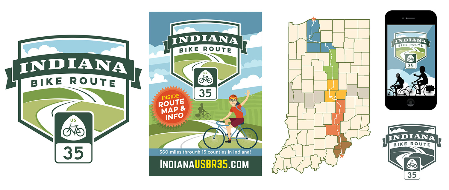
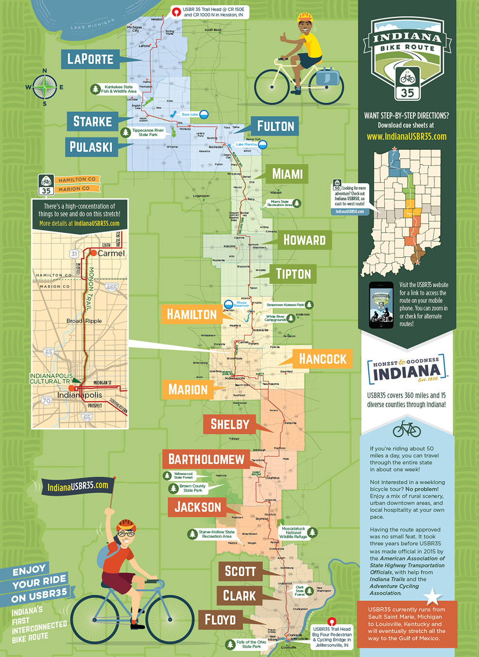
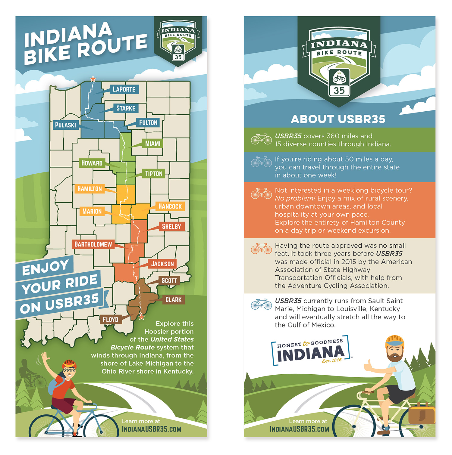
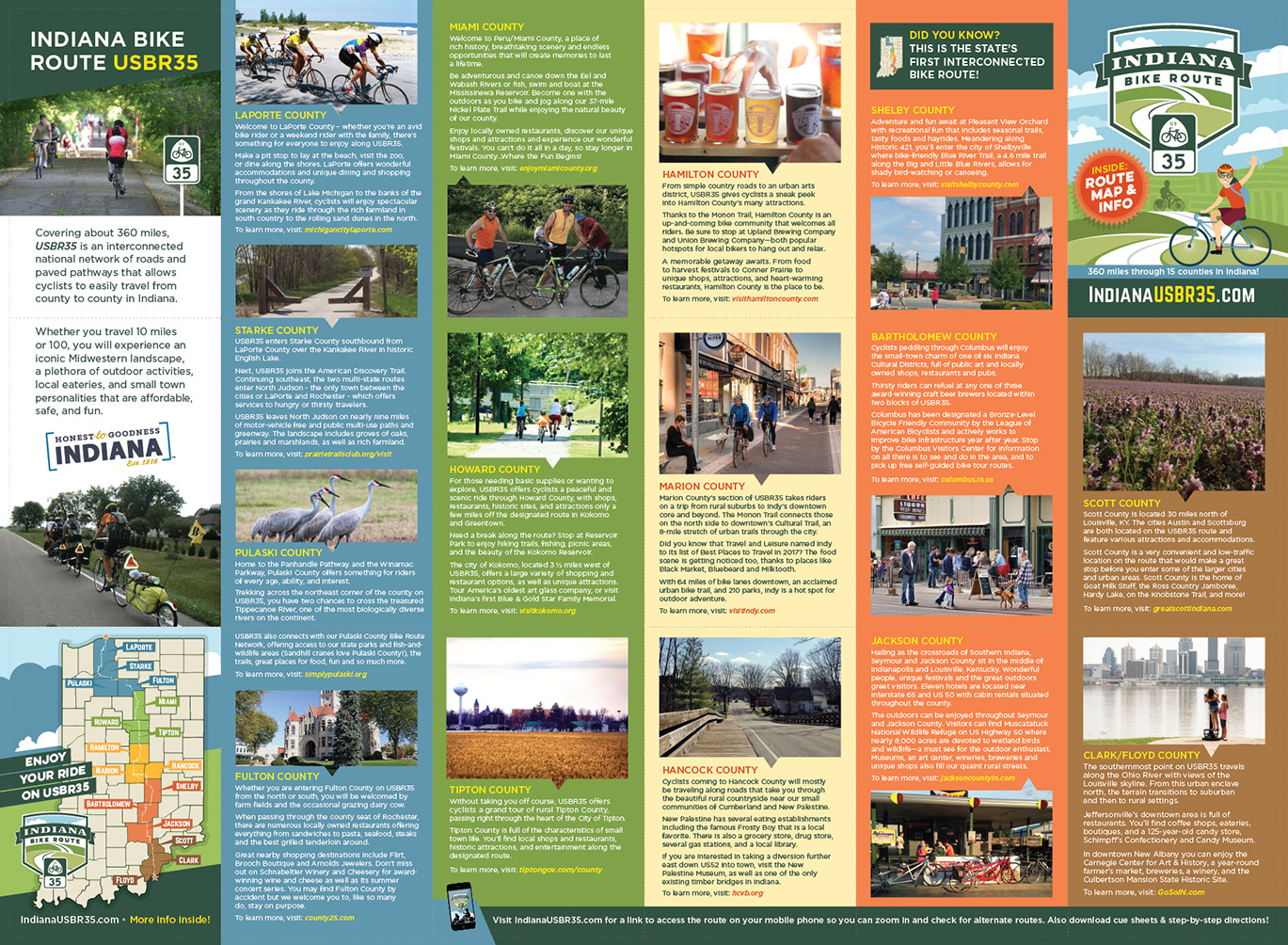
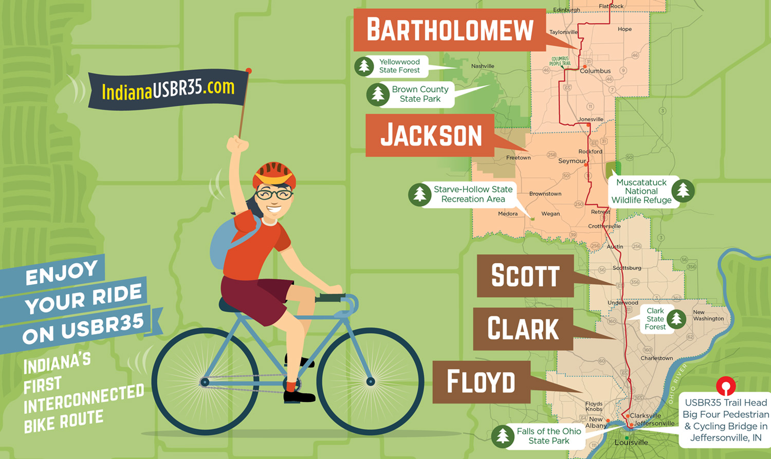
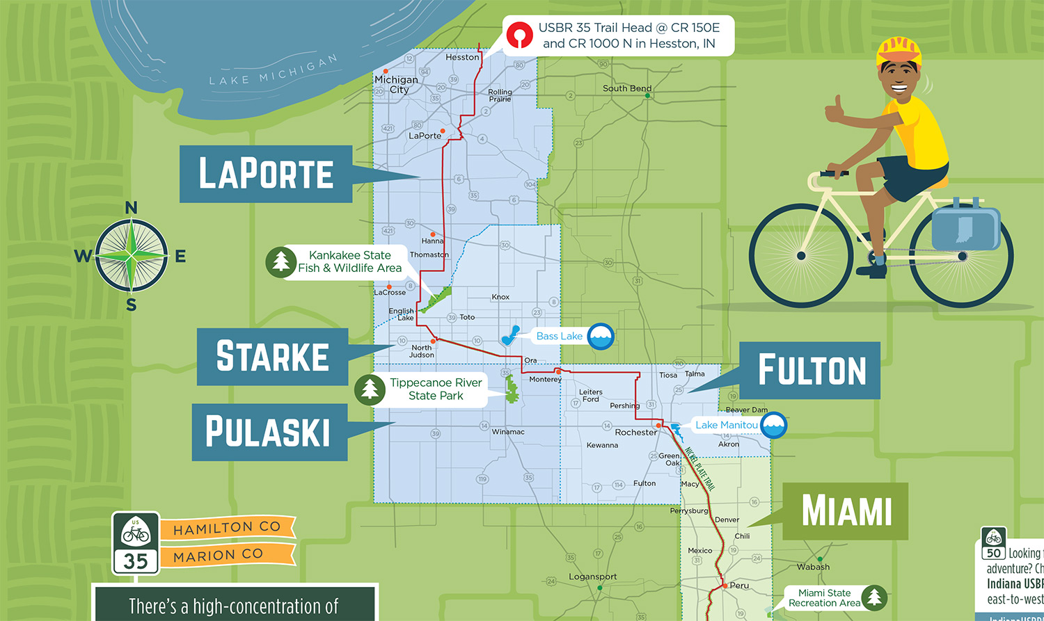
We were called in by the good folks at Hamilton County Tourism to create the branding and trail map for the entire Indiana section of U.S. Bike Route #35. This map acts as a primer for cyclists and tourists to plan their trip. Viewers are steered toward the Indiana USBR35 website for more in-depth route and tourism info.
This pocket-sized map folds down to 3 x 4.5 inches and folds out to 13.7 x 18.75 inches so all text is clearly legible. Our intent was to create an engaging print piece that conveys a quality experience; one that represents the quality effort that went into the planning of this route. Labeling parks and featuring what each county has to offer informs and encourages visitors to get out and enjoy the state of Indiana!
It took three years before USBR35 was made official in 2015 by the American Association of State Highway Transportation Officials, with help from Indiana Trails and the Adventure Cycling Association.
We enjoy using illustration to create fun, colorful marketing collateral for trail maps, city maps and tourism maps. The feedback has been great and they’re always a hit with prospects when sitting out on countertops or handed out at events. It’s a good way of getting something in peoples’ hands (or pocket) that contains a physical link to promotions, websites, and/or social media channels.
–The Wilkinson Bros